An independent guide for visitors

The city that is made of water

Venice is 118 islands stitched together by roughly 150 canals and more than 400 bridges, floating in a lagoon of 550 square kilometres. This guide explains how the water works — the Grand Canal, the small rii, the rivers that were pushed away, the islands, and how to move between them.

Panoramic view over the rooftops of Venice and the Bacino di San Marco from the Campanile
The Bacino di San Marco and the city seen from the CampanilePhoto: Xosema · CC BY-SA 3.0
01

The Lagoon by numbers

The lagoon is a shallow, tidal body of water separated from the Adriatic by the barrier islands of Lido and Pellestrina. Only about 8% of it is permanently open water — the rest is mudflats (barene), salt marshes and tidal channels, with a tide range of typically up to about a metre.

Lagoon area
550 km²
Average lagoon depth
~1 m
Islands in the historic centre
118
Canals (rii)
~150
Bridges
~400
Inlets to the Adriatic
3
Lido, Malamocco, Chioggia
Total length of canals in the historic city
~38 km
Lagoon length, Chioggia to Jesolo (north–south)
~50 km
02

The Grand Canal

The Canal Grande runs about 3.8 km in a great reverse-S through the heart of the city, between 30 and 90 metres wide and roughly 5 metres deep on average. It divides Venice into two halves and six historic districts — the sestieri: Cannaregio, Castello and San Marco on one bank; Santa Croce, San Polo and Dorsoduro on the other.

The banks are a procession of palazzi — Ca' d'Oro, Ca' Rezzonico, Palazzo Grassi — ending at the Punta della Dogana, the old customs point at the mouth of the canal.

Only four bridges cross it. Ponte degli Scalzi (1934) stands by the railway station; Ponte di Rialto, the stone bridge completed in 1591, replaced wooden crossings that had served since the 12th century; Ponte dell'Accademia is a wooden bridge of 1933, rebuilt in 1985; and Ponte della Costituzione (2008), designed by Santiago Calatrava, links Piazzale Roma to the station.

The classic way to see the canal is vaporetto Line 1, which calls at every stop from Piazzale Roma to the Lido in about 45 minutes; Line 2 is the faster express. You can also cross the canal on a traghetto — a gondola ferry at a handful of points such as Santa Sofia near the Rialto market, San Tomà and Santa Maria del Giglio. Passengers traditionally stand for the two-minute crossing.

The Rialto Bridge spanning the Grand Canal
The Rialto Bridge over the Grand CanalPhoto: Martin Falbisoner · CC BY-SA 4.0
03

Canals, rii and bridges

Venetians call the small canals rio (plural rii). A rio terà is a filled-in canal turned into a street, like Rio Terà San Leonardo; a fondamenta is a walkway along a canal; a riva a wider quay; a sottoportego a passage running underneath a building.

The second great waterway is the Canale della Giudecca, 300–400 metres wide and historically deep enough for large ships, separating the Giudecca from Dorsoduro. Other notable rii include the Rio di Cannaregio, the widest canal in the city after the Grand Canal, linking it to the northern lagoon; Rio Novo, dug in the 1930s to shorten the route from Piazzale Roma; the Rio di San Polo and the Rio dei Mendicanti by the hospital.

The small canals are typically only 1.5–2 metres deep at low tide and are periodically drained and dredged — the scavo dei rii — to clear silt and expose the foundations for repair.

Most bridges were originally wooden and were rebuilt in stone from the 1500s. The Ponte dei Sospiri (1600) links the Doge's Palace to the prisons; the Ponte dei Pugni still carries stone footprints marking where rival parishes once fought fist-battles; and the tiny Ponte delle Tette survives near Rialto.

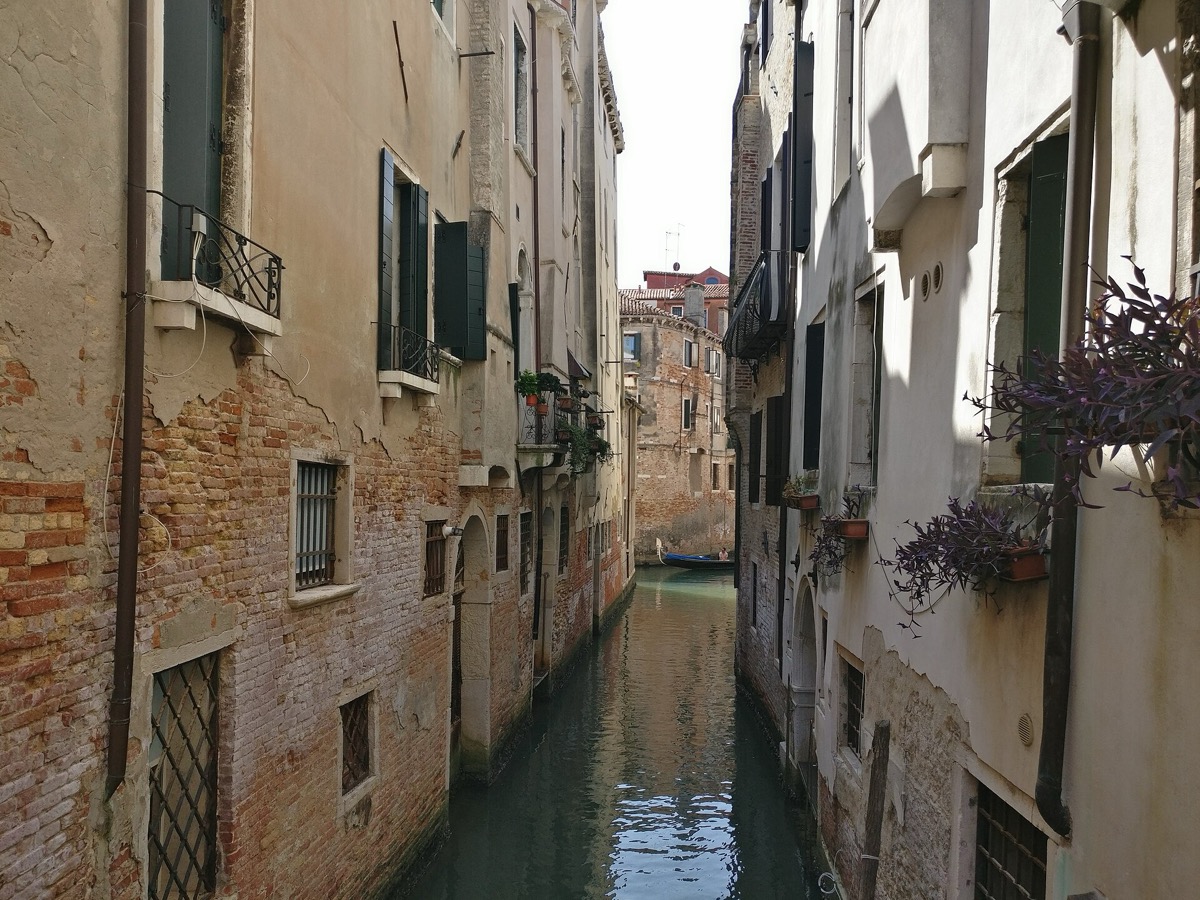
A small side canal — a rio — between brick walls, with a moored boat
A quiet rio — the small canals Venetians call riiPhoto: Stefano Travasci · CC BY 4.0
04

The rivers that were sent away

The lagoon survives because the Republic diverted its rivers. Sediment carried down from the mainland was silting the lagoon and threatened to turn Venice into a mainland town, so in 1501 the Republic created the Magistrato alle Acque — a magistracy dedicated entirely to governing the waters.

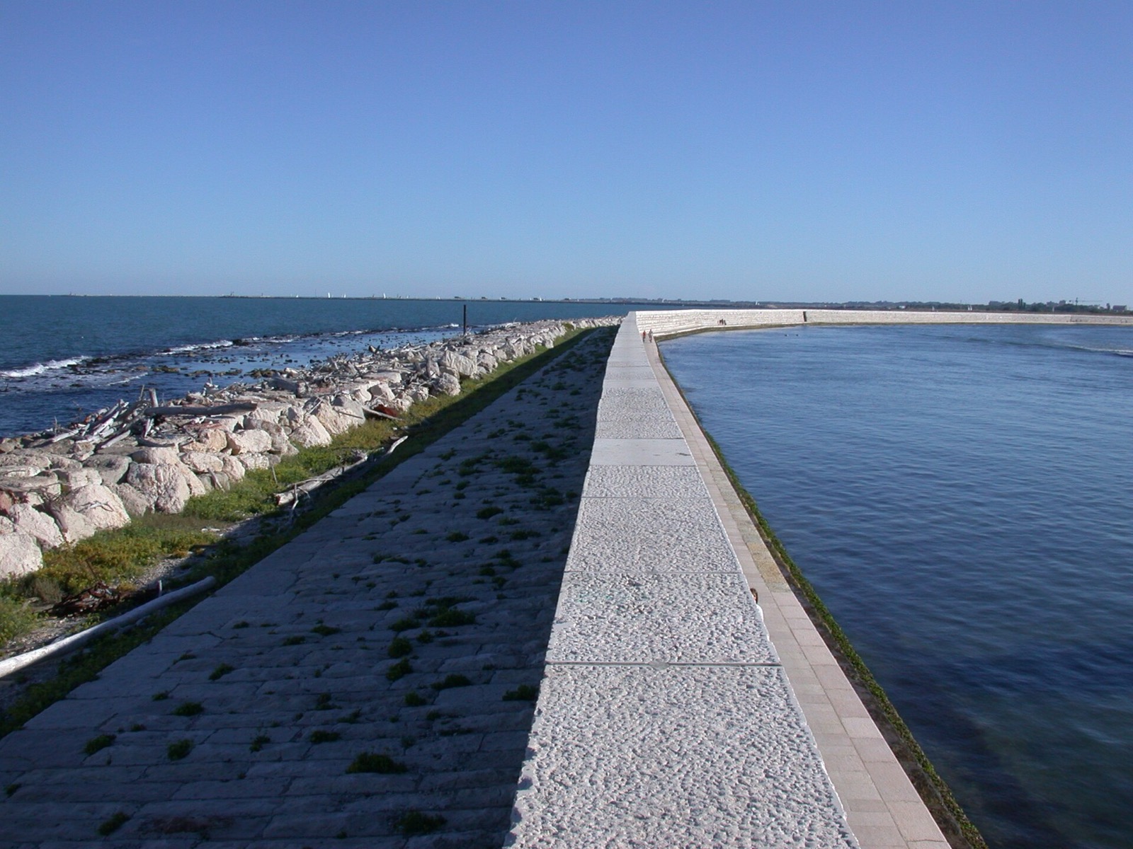
The Murazzi — the great white Istrian-stone sea walls on Pellestrina
The Murazzi sea walls at PellestrinaPhoto: Gvf · CC BY-SA 3.0
  1. The Magistrato alle Acque is founded to defend the lagoon.

  2. The Brenta is diverted in stages; it now reaches the sea at Brondolo near Chioggia. Its old navigable channel — the Naviglio del Brenta — became the Brenta Riviera, lined with Palladian villas, the historic water route between Venice and Padua.

  3. The Piave is diverted to enter the sea at Cortellazzo.

  4. The Sile is turned into the old Piave bed. The smaller Dese, Zero, Marzenego and Osellino still flow into the northern lagoon.

  5. The Murazzi are completed — the great Istrian-stone sea walls protecting Pellestrina and the Lido from the Adriatic.

05

The islands and how to reach them

All routes below are ACTV public waterbus lines — the vaporetto network. Times are approximate sailing times from the named stop.
ADRIATIC SEA LAGOON Venezia Murano Burano Mazzorbo Torcello Sant'Erasmo San Michele Giudecca Lido Pellestrina Chioggia Lido inlet Malamocco inlet Chioggia inlet N Schematic chart — shapes and distances are illustrative, not to scale.
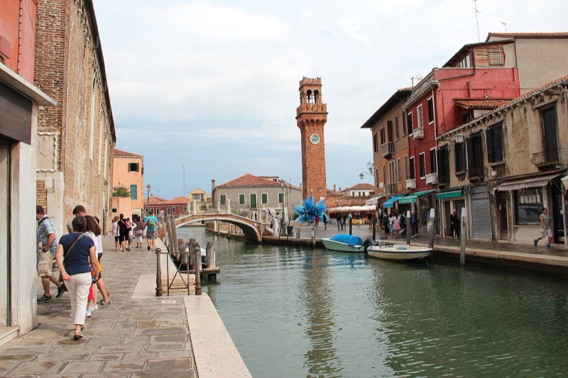
The Rio dei Vetrai canal on Murano

Murano

The glass island

Glassmakers were moved here in 1291 to keep their furnaces — and the fire risk — out of Venice. Visit the Museo del Vetro and the Basilica dei Santi Maria e Donato with its mosaic floor.

How to get there: Lines 3 from Piazzale Roma, 4.1/4.2 and 12 from Fondamente Nove; ~10 min from Fondamente Nove.

Don't miss: A glass-blowing demonstration in a working furnace.
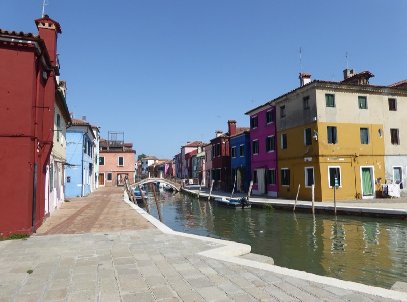
Brightly painted houses along a canal on Burano

Burano

The painted lace island

Brightly coloured fishermen's houses line the canals, beside a centuries-old lace-making tradition and the leaning bell tower of San Martino.

How to get there: Line 12 from Fondamente Nove, ~45 min; also stops at Murano Faro and Mazzorbo.

Don't miss: The view back across the lagoon from the Tre Ponti bridge.

Mazzorbo

Burano's quiet neighbour

Linked to Burano by a wooden footbridge, Mazzorbo is all vineyards, orchards and silent lanes — the lagoon's rural pause.

How to get there: Line 12 (the stop before Burano), or walk over the footbridge from Burano.

Don't miss: The walled vineyard of Venissa.
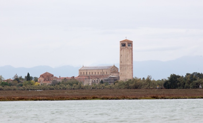
The Cathedral of Santa Maria Assunta and its campanile on Torcello

Torcello

Where Venice began

Settled between the 5th and 7th centuries, Torcello was once more populous than Venice itself. The Cathedral of Santa Maria Assunta, founded in 639, holds extraordinary Byzantine mosaics; outside are the parapet-less Ponte del Diavolo and the so-called Throne of Attila.

How to get there: Line 9 shuttle from Burano, ~5 min.

Don't miss: The Last Judgement mosaic inside the cathedral.
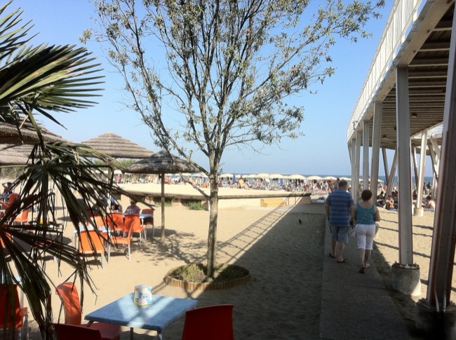
The sandy beach of the Lido

Lido

The beach barrier

An 11 km strip separating the lagoon from the Adriatic, with sandy beaches, Liberty-style villas and the Venice Film Festival, held here since 1932. It is the only island of the historic lagoon with cars.

How to get there: Lines 1, 5.1/5.2, 6 and others; ~15 min from San Zaccaria / San Marco.

Don't miss: The Art Nouveau façades along the Gran Viale.
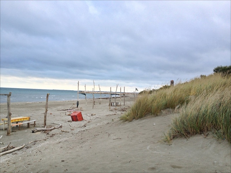
The Adriatic shore at Pellestrina

Pellestrina

The long thin fishing island

South of the Lido, protected by the 18th-century Murazzi sea walls, Pellestrina is a ribbon of fishermen's cottages and the villages of San Pietro in Volta and Pellestrina.

How to get there: Bus 11 from Lido — the bus boards a ferry across the Malamocco inlet — then continues by ferry to Chioggia.

Don't miss: The Murazzi walk at sunset.
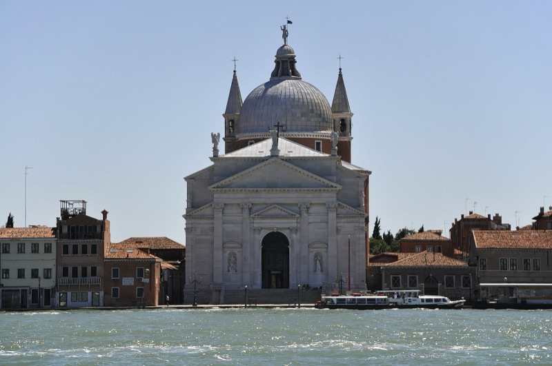
Palladio’s Redentore church on the Giudecca waterfront

Giudecca

The long island across the canal

Facing Dorsoduro across the Giudecca canal, it holds Palladio's Church of the Redentore (1577–92), built in thanksgiving after the plague and still honoured with a pontoon bridge every third weekend of July, and the converted Molino Stucky mill.

How to get there: Lines 2 and 4.1/4.2; ~3–5 min from Zattere or San Zaccaria.

Don't miss: The skyline view back to San Marco from the fondamenta.
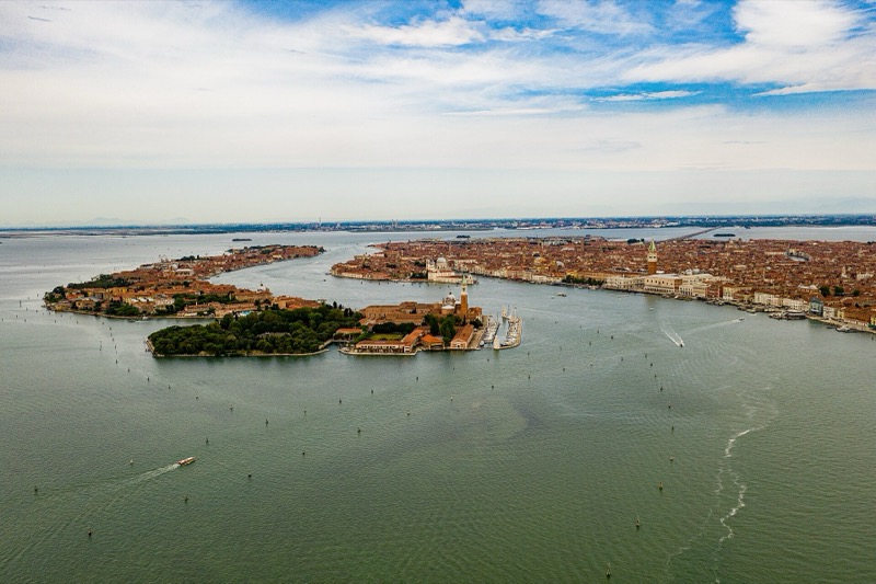
Palladio’s church of San Giorgio Maggiore

San Giorgio Maggiore

Palladio's postcard island

Palladio's church (1566–1610) faces St Mark's across the basin, and its bell tower offers the finest panorama of the city. The island is home to the Fondazione Giorgio Cini.

How to get there: Line 2, one stop from San Zaccaria (~3 min).

Don't miss: The campanile lift at golden hour.
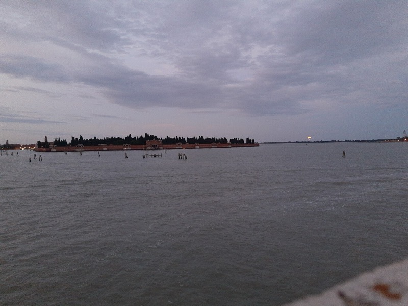
The walled cemetery island of San Michele seen from the water

San Michele

The cemetery island

Venice's cemetery since a Napoleonic decree of 1807. Stravinsky, Diaghilev, Ezra Pound and Joseph Brodsky rest here, beside the church of San Michele in Isola (1469), the first Renaissance church in Venice.

How to get there: Lines 4.1/4.2, stop "Cimitero"; ~5 min from Fondamente Nove.

Don't miss: The Orthodox section where Stravinsky lies.
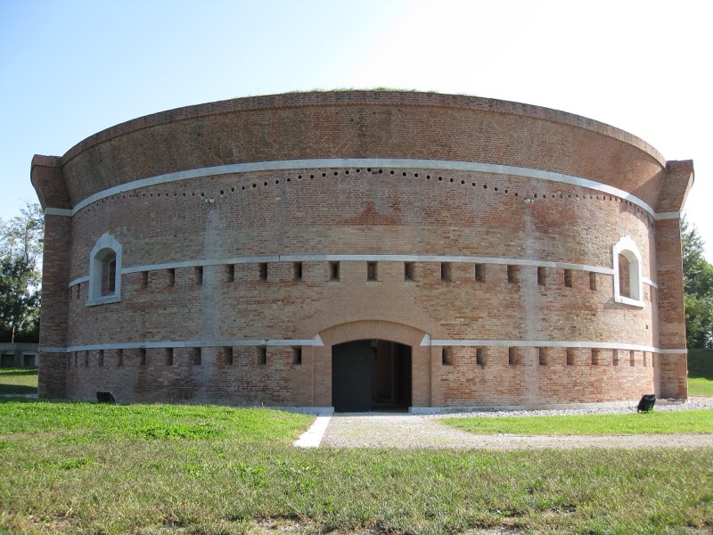
The Torre Massimiliana fort on Sant’Erasmo

Sant'Erasmo

The lagoon's vegetable garden

Farms and artichoke fields — famous for the violet carciofo violetto — plus a quiet beach and the Napoleonic-era Torre Massimiliana fort.

How to get there: Line 13 from Fondamente Nove, ~30–40 min; three stops on the island (Capannone, Chiesa, Punta Vela).

Don't miss: Artichokes in season, straight from the field.

San Lazzaro degli Armeni

The Armenian monastery

A Mekhitarist monastery since 1717, with a remarkable library and museum; Lord Byron studied Armenian here.

How to get there: Line 20 from San Zaccaria, ~20 min; visits at fixed afternoon hours.

Don't miss: The manuscript library and Byron's room.

San Servolo

The island of study

A former monastery and later hospital island, today home to Venice International University and a small museum of its past.

How to get there: Line 20 from San Zaccaria, ~10 min.

Don't miss: The quiet park and the view to San Marco.
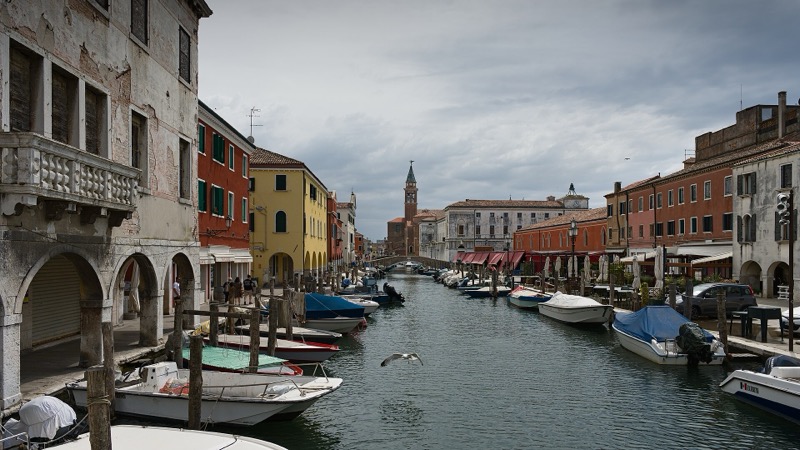
The Canal Vena in Chioggia

Chioggia

Little Venice of the south

At the southern end of the lagoon, a working fishing port with canals of its own — the Canal Vena — and a celebrated fish market.

How to get there: Bus 11 from Lido via Pellestrina plus ferry, or bus from Piazzale Roma via the mainland.

Don't miss: The morning fish market on Corso del Popolo.

And the others…

Le Vignole, market gardens east of Sant'Erasmo; La Certosa, a marina and park island; Lazzaretto Nuovo, the world's first quarantine station (1468) — the word "quarantine" comes from the quaranta giorni, forty days, that ships waited; and Poveglia, abandoned and closed to the public.
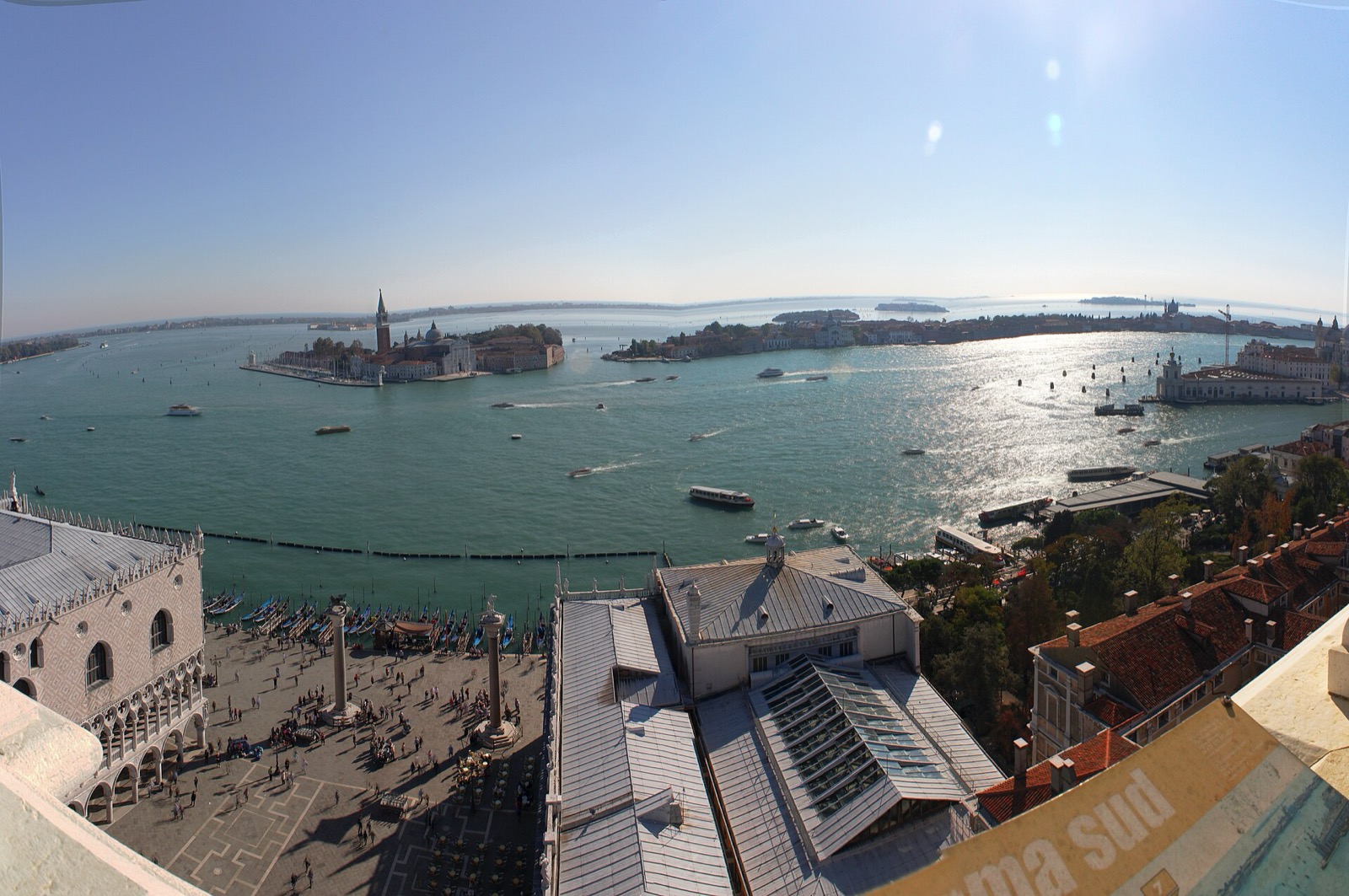
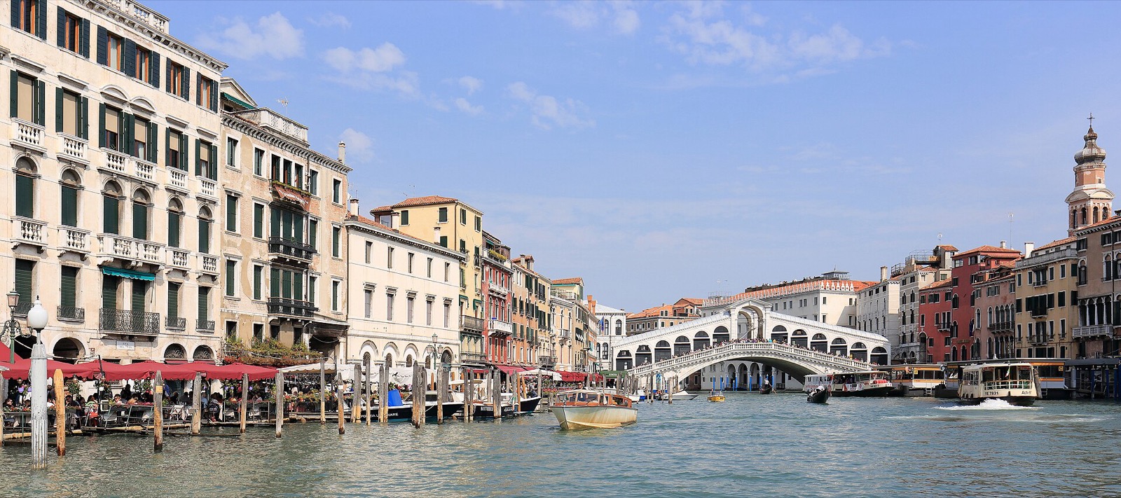
Photo credits
06

Getting around on the water

Vaporetto

The ACTV waterbus is the backbone of the city. Key hubs: Piazzale Roma, Ferrovia, Rialto, San Zaccaria, Fondamente Nove and the Zattere. Line 1 is the slow scenic route along the Grand Canal; Line 2 the express; 4.1/4.2 and 5.1/5.2 circle the city in opposite directions; 12 serves the northern islands; 20 the southern ones. Boats are boarded from floating pontoons called imbarcaderi. Validate or tap your ticket before boarding.

Alilaguna

Airport boats from the dock at Marco Polo airport: Linea Blu, Rossa and Arancio reach the city in roughly 1h15 to San Marco.

Traghetto

A gondola ferry that crosses the Grand Canal at a few points — a two-minute hop, traditionally taken standing.

Water taxi

The motoscafo — private, fast, and the closest thing Venice has to a car door-to-door.

Gondola

About 11 m long and 600 kg, with an asymmetric hull so a single oarsman can row in a straight line. The ferro at the bow carries six forward prongs for the six sestieri and one facing back for the Giudecca. Gondolas are still built by hand in a squero, like the Squero di San Trovaso.

Etiquette

Keep right on the fondamenta, don't block bridges for photos, never swim in the canals, and stay seated on the traghetto if the gondolier asks.

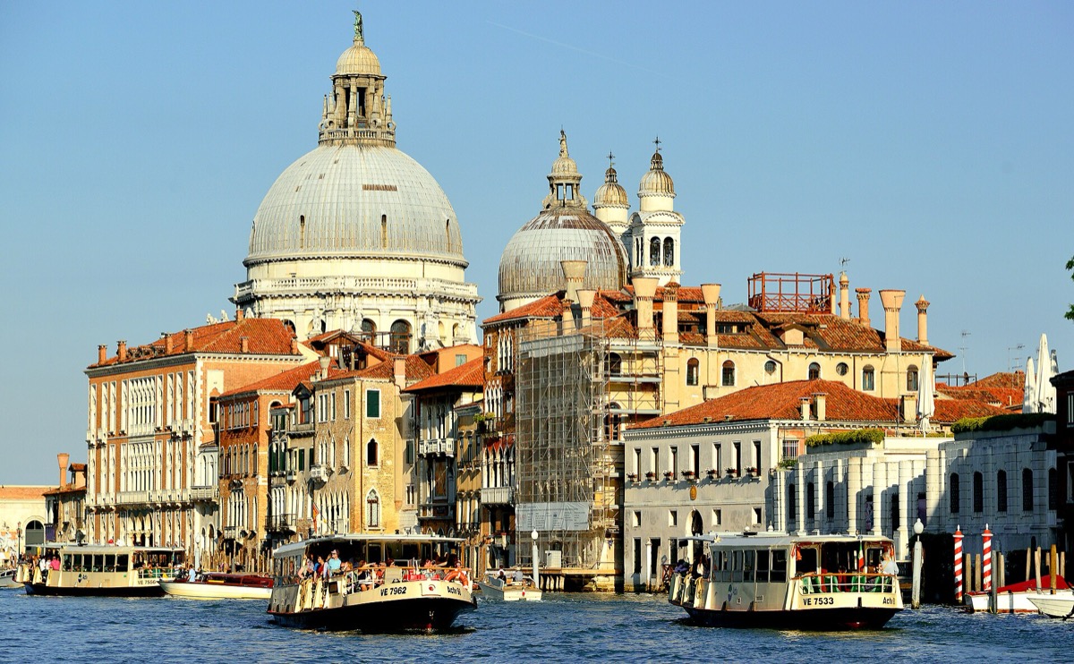
ACTV vaporetti moored in the lagoon
Vaporetti — the workhorses of the lagoonPhoto: Peter K Burian · CC BY-SA 4.0
Where to catch boats to each island
IslandDeparture hubLines
MuranoPiazzale Roma / Fondamente Nove3 · 4.1/4.2 · 12
Burano · MazzorboFondamente Nove12
TorcelloBurano9
LidoSan Zaccaria / Piazzale Roma1 · 5.1/5.2 · 6
Pellestrina · ChioggiaLido (bus 11 via ferry)Bus 11 + ferry
GiudeccaZattere / San Zaccaria2 · 4.1/4.2
San Giorgio MaggioreSan Zaccaria2
San MicheleFondamente Nove4.1/4.2
Sant'ErasmoFondamente Nove13
San Lazzaro · San ServoloSan Zaccaria20
07

Acqua alta and the MOSE

Acqua alta — "high water" — is an exceptional tide, most frequent from October to January, driven by the astronomical tide combined with sirocco winds pushing Adriatic water into the lagoon and low atmospheric pressure. The reference level is measured at Punta della Salute, and Piazza San Marco, the lowest point in the city, begins to flood around +80–90 cm.

When a significant tide is forecast, sirens sound rising tones that code the expected level, and raised walkways (passerelle) are laid out along the main routes. The record remains 194 cm on 4 November 1966; on 12 November 2019 the water reached 187 cm.

MOSE — Modulo Sperimentale Elettromeccanico — is a system of 78 mobile flood barriers at the three inlets, first raised in October 2020 and now activated when forecasts exceed roughly 110 cm.

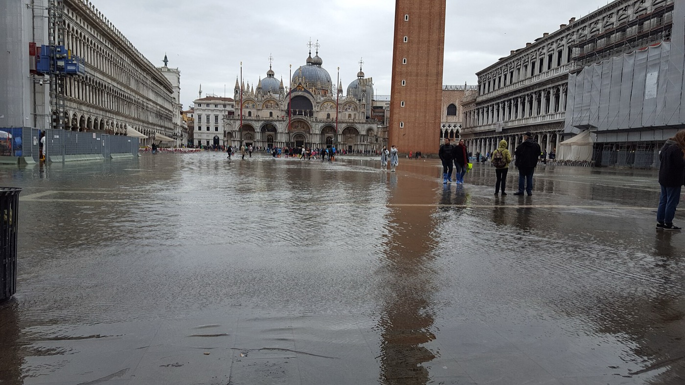
Piazza San Marco under water during acqua alta
Acqua alta in Piazza San MarcoPhoto: Javier Valero Iglesias · CC BY-SA 2.0
08

A short history of a city on water

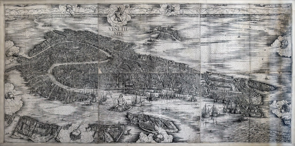
Jacopo de' Barbari's woodcut bird's-eye view of Venice, printed in 1500
Jacopo de' Barbari's bird's-eye view of Venice, 1500Jacopo de' Barbari · Public domain
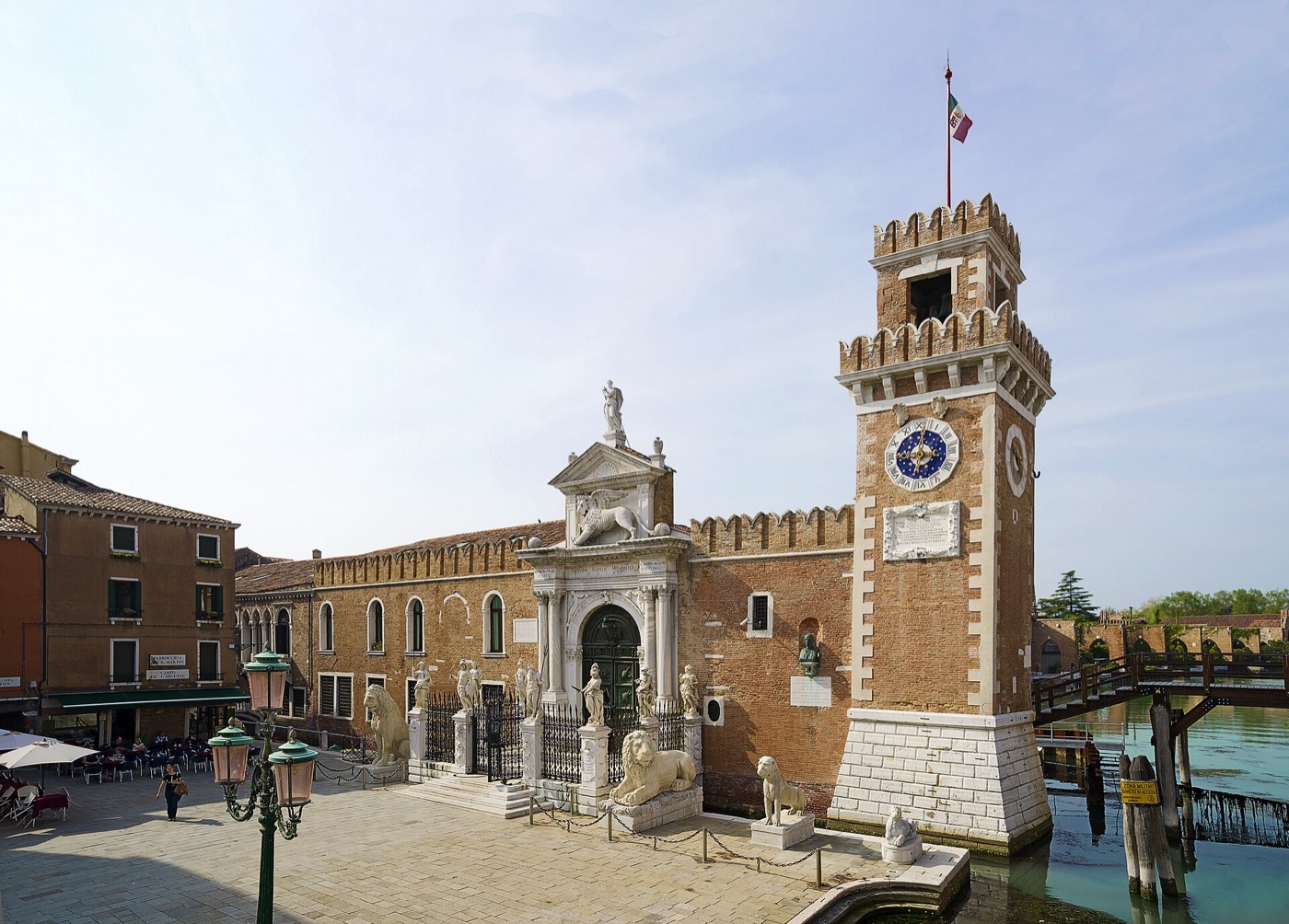
The Porta Magna, the great Renaissance gateway of the Arsenale
The Porta Magna of the ArsenalePhoto: Didier Descouens · CC BY-SA 4.0
  1. Legend dates the foundation of Venice to 25 March 421.

  2. Refugees fleeing Attila's Huns and then the Lombards settle the lagoon islands; Torcello and Malamocco flourish before Rialto.

  3. The seat of government moves to Rialto — the Venice we know begins.

  4. The palazzi stand on millions of wooden piles — larch, oak and alder — driven into the firm caranto clay, where starved of oxygen the wood slowly petrifies.

  5. The Arsenale is founded; at its peak it could reportedly fit out a war galley in a single day.

  6. The Festa della Sensa — the Marriage of the Sea: from the state galley Bucintoro the Doge casts a gold ring into the Adriatic.

  7. The Republic falls to Napoleon.

  8. The Austrian railway bridge joins Venice to the mainland; the road bridge follows in 1933.

  9. The great flood of 4 November — 194 cm — galvanises the world to defend the city.

  10. MOSE is raised for the first time, and the lagoon's most dangerous tides are held at the inlets.

09

Frequently asked questions

Can you swim in the canals?

No. Swimming in the canals is forbidden, and the water is not clean enough to make it tempting anyway.

Do the canals smell?

Rarely. You may notice a smell only at very low tide in high summer in the smallest rii; the tidal exchange keeps most of the system fresh.

How deep is the Grand Canal?

About 5 metres on average. The small rii are typically only 1.5–2 metres deep at low tide.

Are there roads or cars?

Not in the historic centre — it is boats and footways only. Cars exist on the Lido and Pellestrina; Piazzale Roma and the island of Tronchetto are where the mainland road ends.

How many bridges and islands are there?

Roughly 400 bridges and 118 islands, joined by about 150 canals.

How long does it take to reach Burano?

About 45 minutes on Line 12 from Fondamente Nove, with stops at Murano Faro and Mazzorbo along the way.

Is Venice sinking?

Slowly: around 1–2 mm of subsidence a year, compounded by sea-level rise. The worst subsidence was caused by groundwater pumping for industry, which was stopped in the 1970s.

What does "rio terà" mean?

A "landed canal" — a rio that was filled in and turned into a street. When you walk one, you are literally walking on water that was.